MEET OUR REALITY CAPTURE & SCANNING EXPERT
Smart laser scanning is at the heart of geospatial data collection. The 3D models and visualisations that engineering and construction companies need rely upon accurate and timely laser scanning from skilled professionals.
However, not all surveying partners can meet the challenges of Australia’s toughest mining and resource projects – and be an integrated part of their on-site teams.
How SEAM leads in laser scanning
‘Laser scanning’ involves more than just heading to a site and switching on a piece of equipment to collect data. Simply handing over a point cloud isn’t always the right solution for every client.

For every project, we:
Perform laser scanning quickly – often with real-time processing – for rapid data delivery
Use the right technology (including terrestrial laser scanners, airborne LiDAR and SLAM scanners) to achieve accurate results
Transform raw data into formats that support decision-making and optimise operations
SEAM leverages decades of experience to deploy custom solutions that help simulate and analyse complex assets, structures and environments.
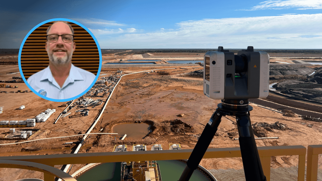
Meet Ian, our Reality Capture Expert
With almost two decades of practical experience as a registered surveyor, Ian Breddin spearheads our Laser Scanning and Reality Capture division from Brisbane.
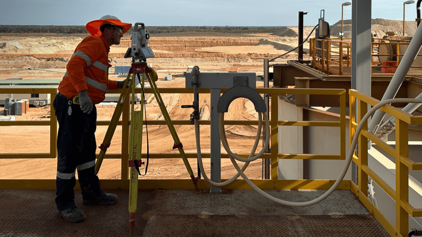
Having worked across mining, construction and land development, Ian understands the requirements and methodologies needed for any project. Not afraid to get on the tools, Ian:
Explores new tech in laser scanning to integrate into SEAM’s service.
Coordinates our scanning team to ensure smooth project delivery.
Develops laser scanning solutions that meet client requirements.
Supports and trains junior surveyors at SEAM to grow their skills.

Ian is deeply passionate about technology and keeping up with the latest developments in laser scanning. He ensures that SEAM is always on the cutting edge – adopting new practices and equipment when it can guarantee better results for clients.
Our recent laser scanning projects
Unlike mine surveying partners, SEAM can provide all the other survey support required for our client’s entire operation.
Tronox
Digital twin for facility expansion and maintenance
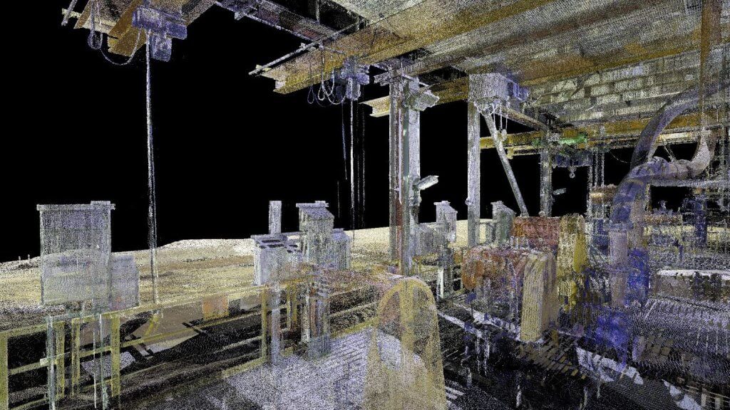
Performed a detailed laser scan of the Wet Concentrator Plant at Tronox’s Atlas-Campaspe mine.
Produced an accurate point cloud of the plant to assist with future expansion and maintenance.
Brought together five SEAM specialists from across Australia to deliver results sooner for a high-priority client.
Veldon Group
Laser scanning for brownfield expansion
Took a detailed laser scan of the client’s water treatment plant 180 km southwest of Mount Isa.
Produced a digital twin of the site to assist the client with future brownfield expansion.
Worked alongside the CAVA Group to support regional mines – from survey to clean-up.
Global mining company*
Point cloud for upgrades and remediation
Used two Leica RTC360 laser scanners to capture the required data at the client’s Coal Preparation Plant in Queensland.
Developed an accurate point cloud and digital twin of the entire plant to enable the design of upgrades and remedial work.
Completed the project in just six days – sooner than the quoted eight days – with a specialist team of three surveyors.

*Anonymised at the client’s request
