SURVEYING SERVICES
Precise engineering surveys, boundary surveys and drone surveys are at the heart of SEAM Spatial. Poorly performed surveys cost you both money and time. We understand that there’s no room for errors when it comes to your measurements and spatial data.
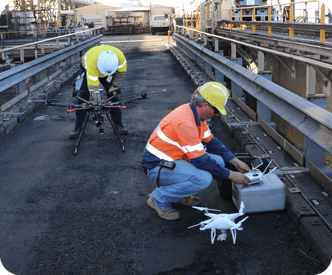
ADVANCED DRONE/UAV SURVEY SPECIALISTS
RESOURCES | INFRASTRUCTURE | LAND DEVELOPMENT
Most drone operators don’t have the surveying skills to accurately capture spatial data. Similarly, many surveyors are missing the piloting capabilities to make the most of drone technology. Our CASA-certified pilots are spread across regional offices, so we can rapidly mobilise to projects at any location.
As one of the early adopters of unmanned aerial vehicle (UAV) technology, SEAM Spatial can capture data accurately, safely and remotely in all weather conditions.
With expertise in multi-rotor, fixed wing and VTOL with photogrammetry, lidar, thermal, infrared and video sensors.
EXPERIENCED BOUNDARY/CADASTRAL SURVEYORS
RESOURCES | INFRASTRUCTURE | LAND DEVELOPMENT
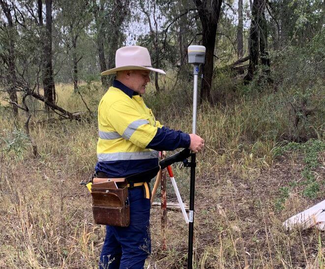
Working with an experienced boundary surveyor avoids delays in starting your project and disputes during construction. SEAM Spatial doesn’t just undertake boundary and cadastral surveying using the latest GNSS and total station equipment, we can follow up with a complete mining and engineering solution.
Our offices across Australia mean that we have boots on the ground to get boundary surveying done right – and done within your timeframes.
COMPREHENSIVE ENGINEERING SURVEYS
RESOURCES | INFRASTRUCTURE | LAND DEVELOPMENT
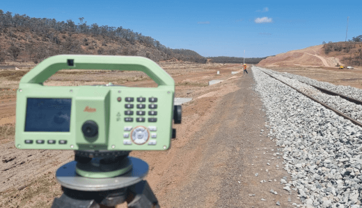
SEAM Spatial chooses the right technology for all engineering surveys – including precision total stations, GNSS, digital levels, UAV LiDAR, bathymetric boats and terrestrial laser scanning. Whether it’s precise construction set-out, brownfield 3D clash detection, or rapid acquisition of congested or heavily vegetated sites, we employ the right tools.
Avoid errors that can lead to delays, variations, reworks and additional costs. Get the correct data support you need, and affordably visualise your project with realistic 3D models.
VERSATILE BATHYMETRIC SURVEY
RESOURCES | INFRASTRUCTURE
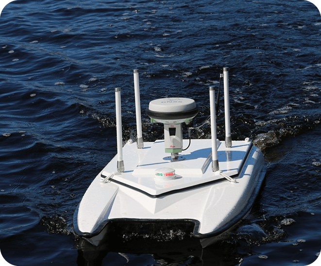
Collecting accurate spatial data underwater can be even more crucial than on land. However, access during bathymetric surveys is often difficult – especially around dams and open-cut pits. SEAM Spatial’s remote-controlled ‘bathy boats’ can measure underwater topography and depth mapping even in dangerous areas. Designed to be versatile, our system is also easily deployable on manned vessels for non-hazardous areas.
SEAM Spatial’s unique UAV ‘bathy drone’ is one of the few in Australia. It allows us to provide data from otherwise inaccessible areas and remote dams that other surveyors can’t.
PRECISE GEODETIC CONTROL SURVEYS
RESOURCES | INFRASTRUCTURE
Not every surveying company is capable of incredibly precise control surveys. Because they lay the framework for every subsequent survey, control surveys require extreme accuracy. SEAM Spatial achieves this using static GNSS, total stations, digital levels, long-range shaft plummets and least squares adjustment software – as well as surveying gyroscopes for difficult environments (like long tunnels).
Without starting from precise established control, accurate surveys that your project needs just aren’t possible.
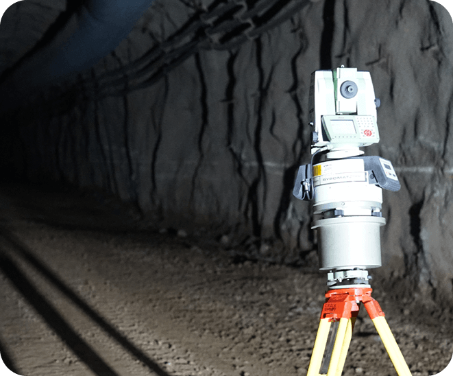
SEAM TEAM IN SURVEYING
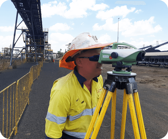
While many surveying companies can provide a service, SEAM’s expert team gives you a solution. Your project deserves a reliable spatial partner who knows how to communicate and thinks ahead to solve problems – before they start costing you time and money.
