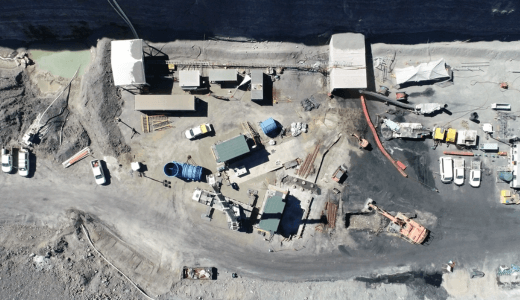
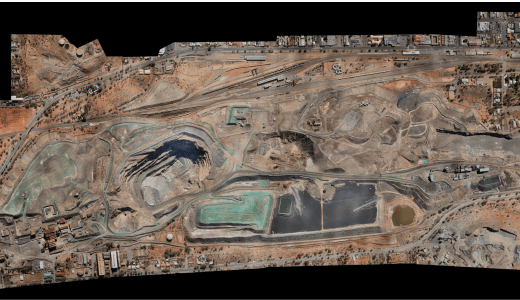
RESOURCES & MINE SURVEYING
From exploration through to construction, operations and decommissioning – SEAM Spatial provides the accurate mine surveying data and on-site support you need to ensure the smooth planning and execution of your mining project.
AN EXTENSION OF YOUR TEAM
The mining and oil and gas sectors are vital to our economy – but they’re often underserved by surveying companies that don’t understand these industries’ needs.
You’re looking for…
- A partner with in-depth site and equipment knowledge – and the ability to get crews to your project quickly.
- A team that works well with your own, understands your processes and can work independently.
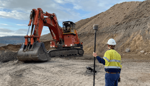
- A surveyor with boots-on-the-ground capabilities and local resources available nationwide on short notice.
WE ARE…
- Highly experienced in the resources sector – vendoring to over 95% of mines in QLD and NSW.
- Focused on building personal relationships and training our surveyors to communicate on-site – without egos.
- Experts in managing remote projects, with successful outcomes at sites across Australia and New Zealand.
MORE THAN JUST SERVICE DELIVERY
Every mine surveying company can take measurements – but are they fast, accurate and reliable enough to make your job easier? Our mine surveyors don’t turn up on site and push a button – they’re deeply experienced and make the most of their equipment.

TECHNOLOGY THAT SUPPORTS YOUR GOALS
From the moment you start working with SEAM, our team collaborates with you to match the right technology to your requirements. Our goal is always to provide better mine surveying results for lower costs. Efficiency is what matters, not the technology itself.
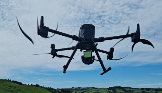
Multi Sensor UAV
Photogrammetry, lidar, thermal, infrared, and video sensors for efficient, accurate and safe surveys and inspections.
")
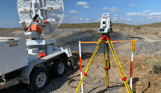
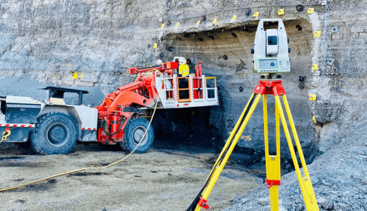
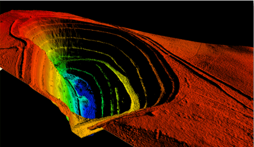
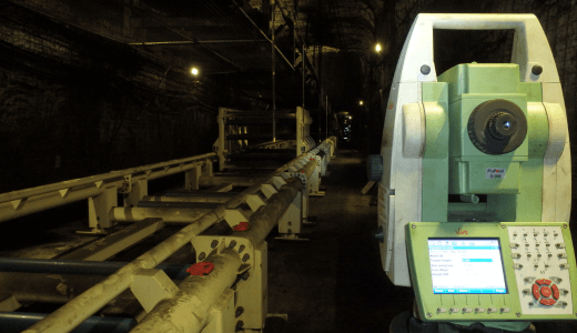
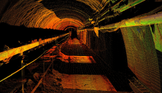
Reality Capture
Laser scanning from long-range, vehicle and drone-mounted. SLAM for underground, indoors and shaft scanning.
")
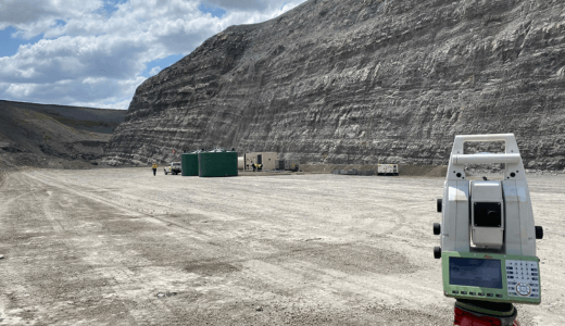
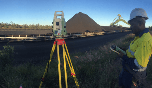
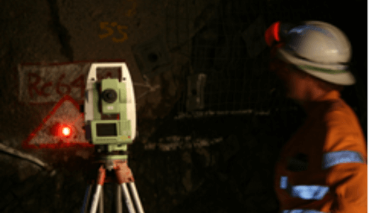
Precision Control
Surface and underground geodetic control. Gyroscopes, laser shaft plummets, total stations and GNSS.
")
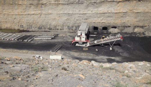
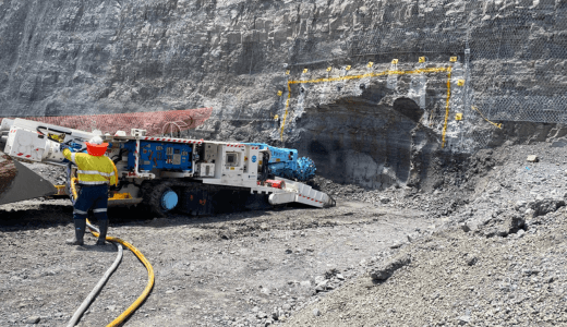
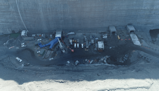
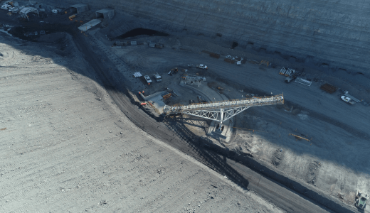
CLIENT SUCCESS – MILLENNIUM UNDERGROUND MINE
In the resources industry, one of the biggest challenges is finding the right people to do the job. PIMS Group needed a reliable survey team to support their mine construction and production ramp-up – and SEAM delivered.