INFRASTRUCTURE &
CONSTRUCTION SURVEYING
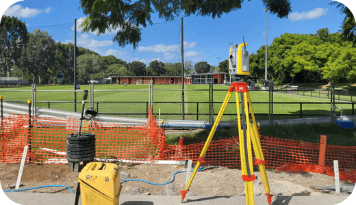
From site evaluation and layout through to design validation and construction monitoring – SEAM Spatial ensures that your infrastructure project has all the accurate and practical survey data needed to minimise the risk of costly errors and delays.
YOUR CONSTRUCTION PARTNER
Infrastructure projects are at the heart of our nation’s growth. Ensuring that our railways, ports, tunnels and roads are built safely and efficiently is our priority.
You’re looking for…
- A partner who can help prevent construction problems from occurring with professional spatial data.
- A team that respects time constraints and knows the importance of delivering critical infrastructure on time.
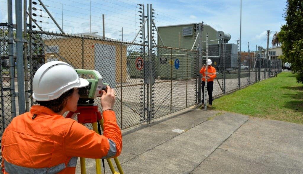
- A surveyor who puts safety first and complies with accepted site standards, methods and certifications.
WE ARE…
- Highly experienced in all infrastructure projects – with full-service surveying above and below ground, air and water.
- Ready to mobilise to sites and get to work quickly, with proven results across civil construction projects.
- Advocates for safety on every site – above all else – while also achieving your outcome and cost priorities.
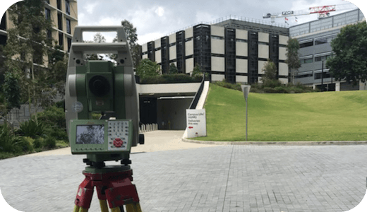
PREVENTING PROBLEMS ON-SITE
Our team has been resolving avoidable issues in design and construction projects for over 20 years. We can help you save time and money by avoiding delays, variations and costly redesigns – as well as manage interfaces between work packages.
FOR EVERYTHING WE’RE BUILDING.
Even the smallest errors in spatial data for vital construction projects can have enormous consequences down the road. Smart and reliable surveying ensures that the infrastructure we all rely upon is designed and managed correctly.
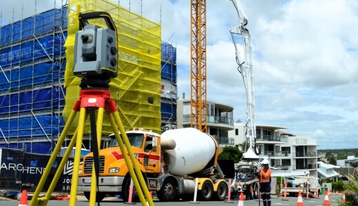
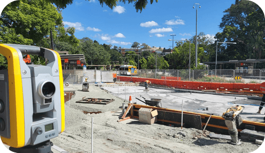
Civil
The railways, roads, ports and tunnels that form the backbone of our society.

Utilities
The pipes and cable that grow our economy and communities.

Government
From regional councils to the defence initiatives that keep us safe and secure.

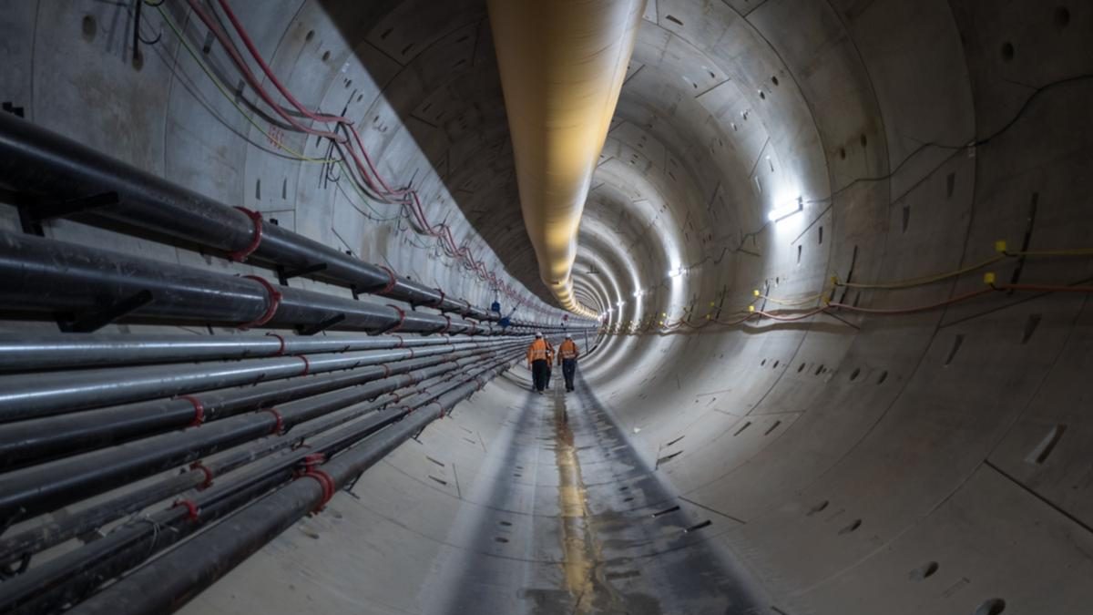
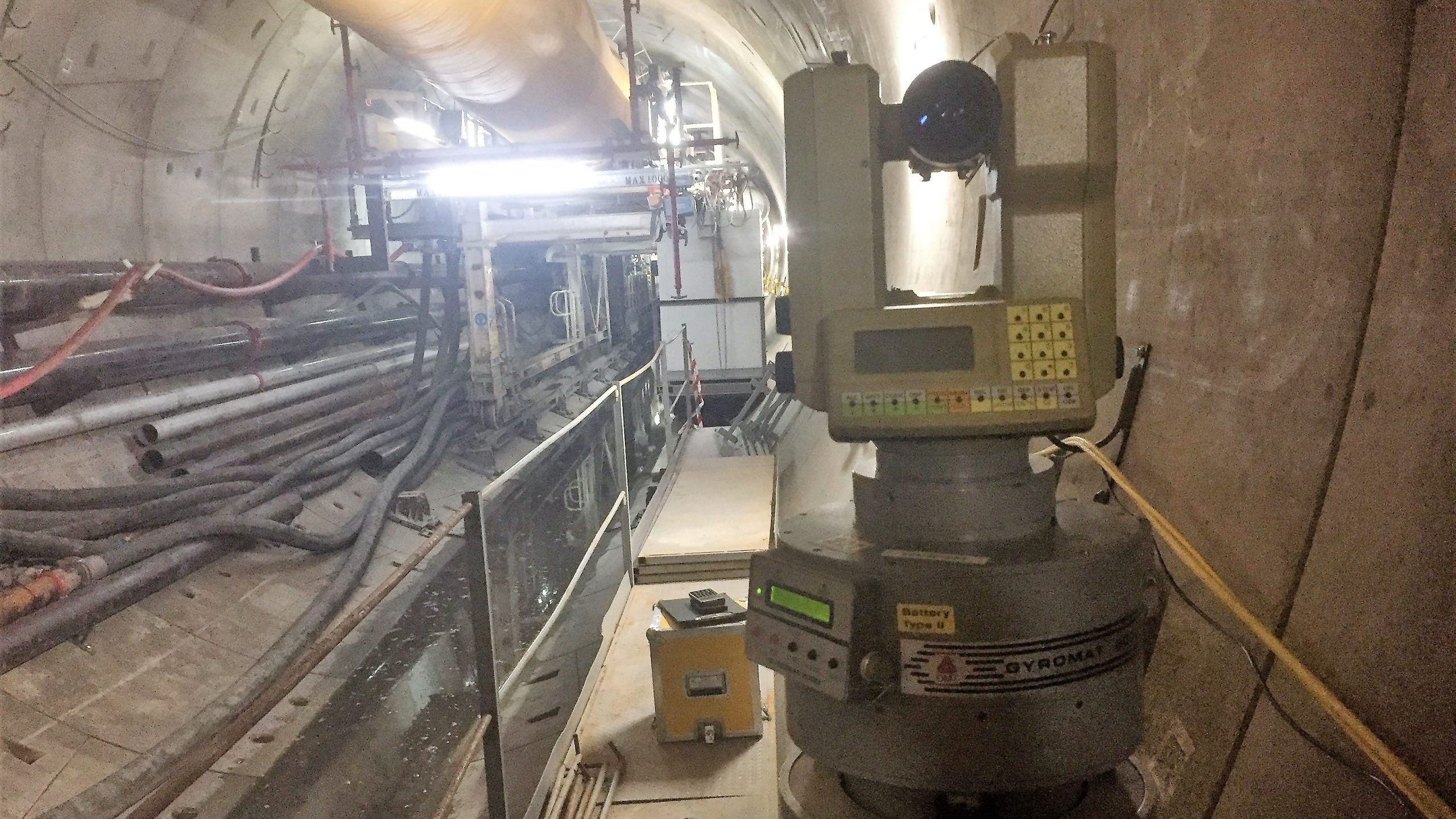
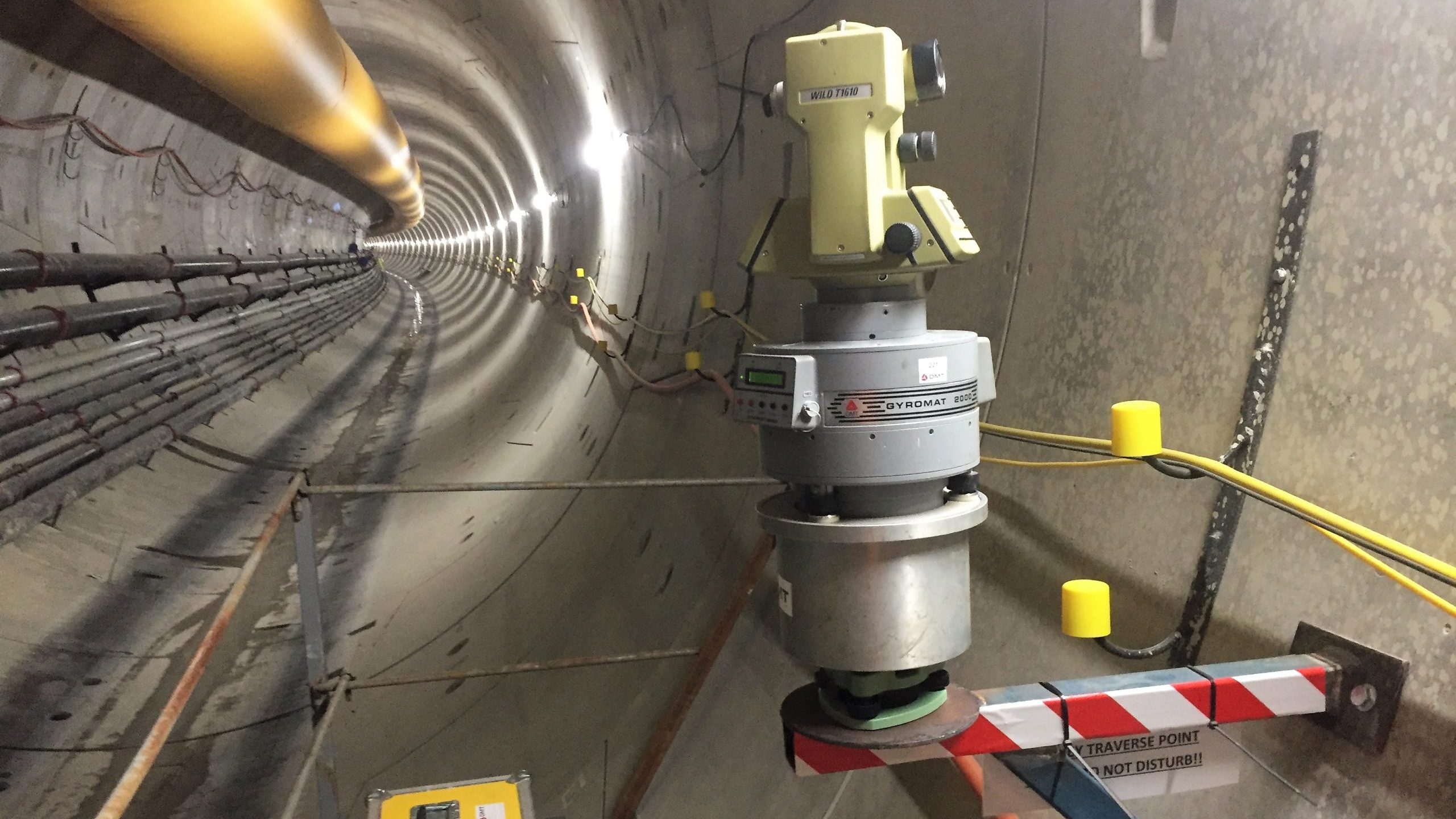
CLIENT SUCCESS – FORRESTFIELD-AIRPORT LINK
Forrestfield-Airport link had several surveyors working on the project, but only SEAM Spatial had experience in operating a gyroscope. Our millimetre-precise observations were essential data in a range of complex adjustment programs.