SMART SURVEYING
EQUIPMENT & TECH
Surveying equipment and technology are constantly and rapidly evolving. Our commitment to innovation means utilising the latest processes to ensure more accurate, efficient and safe data collection.
Achieve extremely precise measurements faster
Ensure data is detailed and valuable – to suit your needs
Deliver information in intuitive formats and visualisations
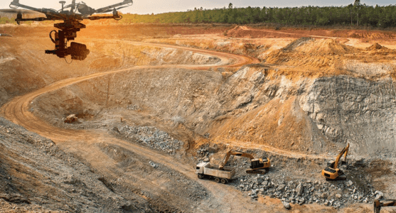
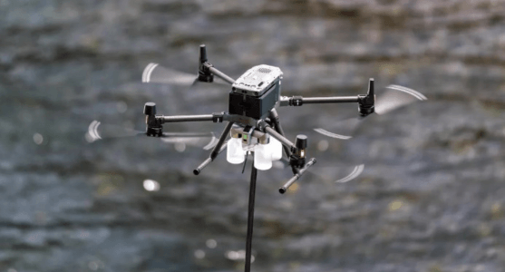
SMART DRONES
Our unmanned aerial vehicles (UAVs) allow us to quickly capture high-quality aerial imagery and data. Drones are particularly well-suited for mining – including mapping and measuring stockpiles and monitoring tailings dams – and construction site surveys.
DREAMWORLD 3D FLY THROUGH
ACCURATE
Drones are able to get closer to the ground and approach from a wider range of angles than other aerial survey techniques.
EFFICIENT
Small and manoeuvrable, UAVs can cover large areas quickly. This can reduce the time and cost required to complete a survey.
SAFE
UAVs limit the need for surveyors to access hazardous or hard-to reach areas – which can reduce the risk of accidents.
")
")
")
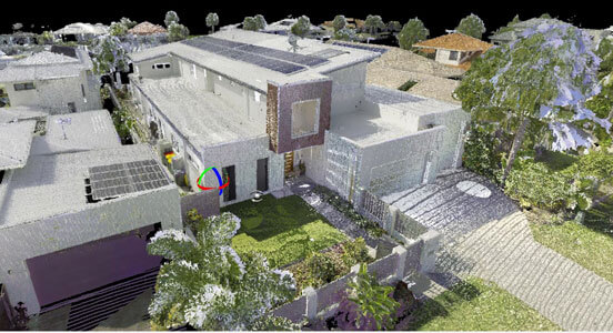
PHOTOGRAMMETRY OR LIDAR?
The type of sensors to employ with a drone depends on your project’s needs or the data’s application. Photogrammetry captures thousands of high-resolution photos to generate a 3D map. LiDAR uses pulsed lasers to provide pinpoint readings of terrain.
When operated by an expert, orthorectified photogrammetric imagery from a drone can be an affordable way to capture easily interpretable data. However, LiDAR may still be more effective in some situations, like areas with high vegetation.
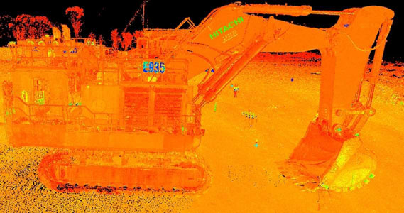
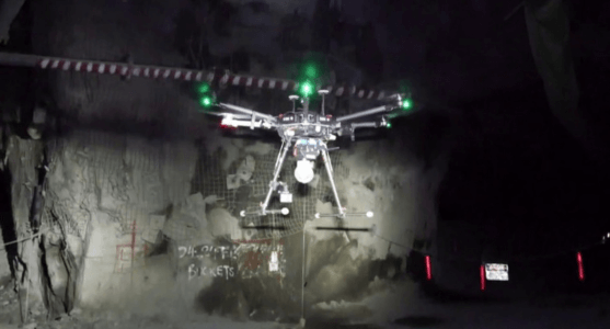
ADVANCED LASER SCANNING
Our laser scanning technology creates valuable digital models of all kinds of environments. While it’s a tried-and-tested technology in surveying, we employ the latest innovations to achieve superior results – particularly for engineering and construction projects.
ACCURATE
Extremely precise sensors and advanced algorithms receive millions of data points, resulting in highly accurate 3D models.
EFFICIENT
Capture large amounts of data over a wide area in a few minutes. SLAM’s real-time processing also speeds up surveying.
SAFE
Because laser scanning can be performed remotely, it’s well suited to steep terrain or potentially dangerous underground surveying.
TERRESTRIAL OR SLAM?
Terrestrial laser scanning uses a static tripod at multiple positions to create detailed 3D maps. It’s a simple technique that’s ideal for creating as-built models, monitoring structural changes and conducting volume measurements.
Innovative GeoSLAM (Simultaneous Localisation and Mapping) scanning uses a lightweight mobile laser scanner to collect 3D data in real time – not just from fixed locations. This is particularly useful for complex indoor environments.
NOT JUST THE LATEST – THE RIGHT TECH
GEOPHYSICAL SENSORS
We collect critical data using the latest geophysical sensors. By creating subsurface images and models, our team can identify natural resources and map geological formations – which play an important role in mining.
GYROSCOPE EXPERTS
Our GYROMAT is one of the most accurate gyroscopes in the world for underground mining and tunning. Few surveyors have the equipment or understanding to undertake accurate gyroscopic orientation surveys.

")
WATER MONITORING SOLUTIONS
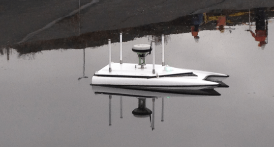
BATHYMETRIC SPECIALISTS
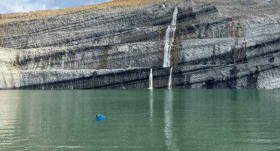
Using our own developed and field-tested bathymetric survey boats and drones for water surveys. They’re accurate from 30 cm of water to 200 m depths. Maximum coverage thanks to rapidly deployable and easily transportable bathy technology.
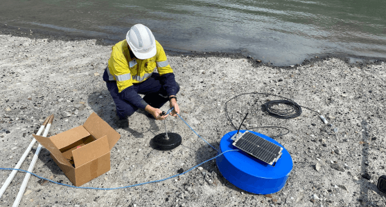
YABBY SENSORS
With our advanced floating level sensors, the SEAM team can remotely monitor bodies of water – like dams and mine pits. This technology provides precision data – with regular alerts – to help manage water resources.
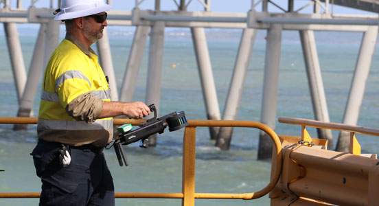
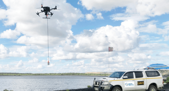
WATER SAMPLING
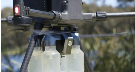
Providing a safe and efficient water sampling solution. Effective in extracting samples from most bodies of water including hazardous areas. Using a drone and 3-metre length hose, your team need not be at risk again.
DELIVERING INSIGHTFUL DATA
With over a decade of experience, we don’t just have the expertise to capture almost any environment using single or multiple techniques. We transform that data into valuable insights with unmatched information quality.