

GNSS MONITORING FOR A LEADING COAL SEAM GAS COMPANY
Automated monitoring of assets is a game-changer in the resources and energy sectors. Compared to conventional manual surveying techniques, automated GNSS monitoring can save substantial costs and reduce processing delays – while providing much more timely data.
Commercialising five million cubic feet of gas reserves, a high-profile project at the Surat Basin needed the right expertise and technology partner to develop their Geodetic Ground Movement Monitoring Points (GGMMPs).
CHALLENGE
As per the Environment and Biodiversity Protection Act 1999 (EPBC Act), the company was required to fulfil subsidence monitoring commitments through its Monitoring and Management Plan.
Each of the six monitoring points consisted of a 1-inch galvanised rod, inserted into the ground to a depth of up to 75 metres.
While their initial project scope with SEAM Spatial was to measure these rods quarterly through a static survey campaign, this would have posed several problems – alongside questions over effective control:
Wide dispersal of monitoring points – over a 100 km range
Significant cost and personnel investment needed for static measurements
Access concerns during adverse weather – such as long periods of rain
Infrequent provision of data and long processing turnaround
SOLUTION
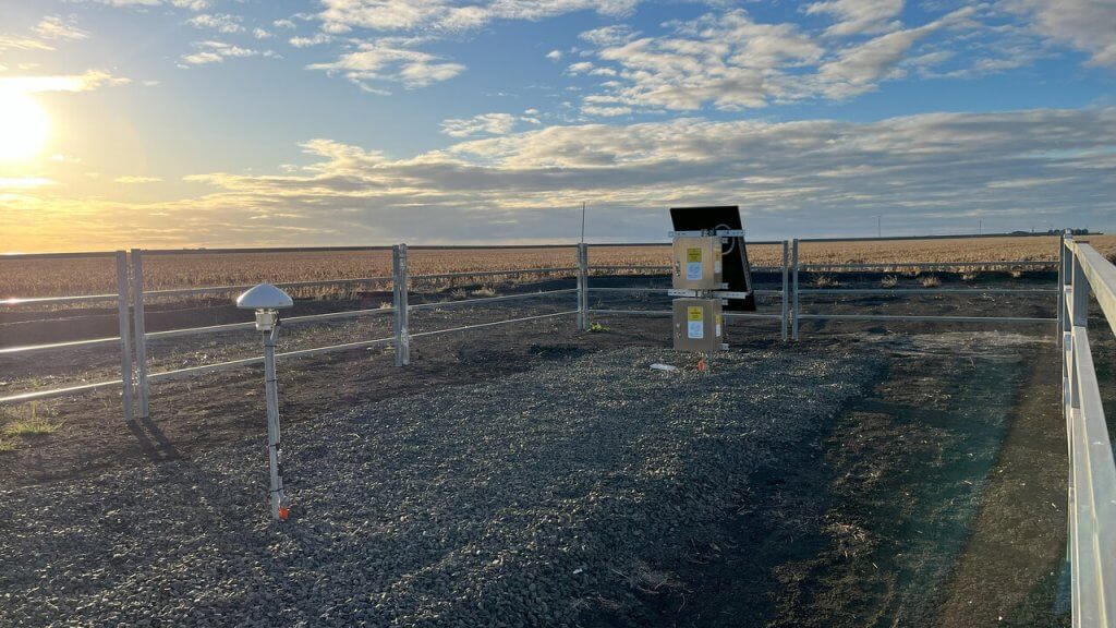
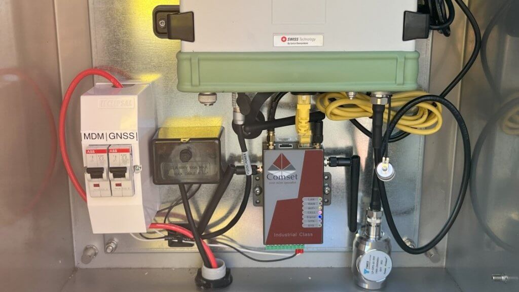
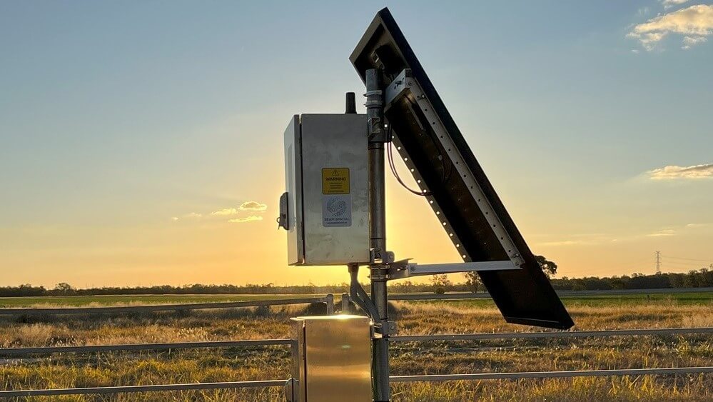
SEAM developed, configured and rolled out a custom GNSS solution that utilised both the already-installed monuments from Aecom’s Ground Engineering and Tunnelling team alongside Leica’s smart CrossCheck service.
The setup provides vertical ground movement data, with results every 24 hours – as opposed to the initial three-month cadence of the client’s original proposal. It includes:
Leica AR10 GNSS antenna at each GGMMP
GR30 receiver and 4G/NB-IoT communications
Solar power solution with LiFeP04 battery
Full lightning protection, Earth stakes and pits
“We were able to eliminate many of the issues that would have cropped up with a conventional static solution. These installations can operate autonomously and save a huge amount of resources for the client.”
– Jason Spall, Monitoring and Technology Expert at SEAM Spatial
OUTCOMES
For one of the largest gas developments on Australia’s east coast, with hundreds of coal seam gas wells, it was crucial for the company to comply with the EPBC Act as efficiently as possible.
Thanks to SEAM’s automated monitoring solution, the GGMMPs at the Surat Basin are significantly more than just measurement devices. They’re able to:
Collect and push RINEX data to Leica’s CrossCheck servers every single day.
Process the data and make it available via online portal or email within minutes.
Provide custom graphs and reporting for all computational requirements.
