

DELIVERING SUPERIOR 3D DATA FOR OUR CLIENTS
Being able to effectively manage, visualise, and analyse massive 3D datasets is essential for surveyors today.
SEAM Spatial has a long history in reality capture. We’ve delivered on projects from entire process plant scans and modelling, right down to small underground belt chambers. As projects become more complex, we need to keep sharing spatial data quickly and in formats that help our partners make better decisions.
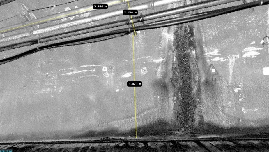
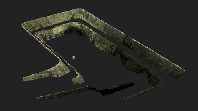
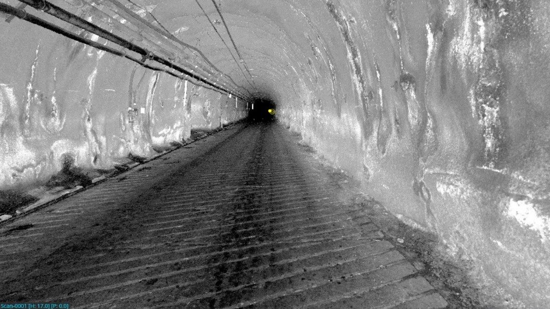
We were early adopters of drone technology and mobile laser scanning – and now we’re staying ahead with the world’s fastest end-to-end 3D data workflow and digital twin solution: Pointerra.
CHALLENGE
At SEAM, we provide our partners with intelligent analysis and insights, to predict what’s coming next for any project. To keep fulfilling this goal, we felt it was crucial to research and implement an innovative data management and visualisation platform.
However, our clients also need to be able to unlock the full value of reality capture – without having to purchase new software or train their teams on a new system that may be infrequently used. It’s up to us to meet their abilities.
Over time, we found that our clients often dealt with…
Inability to unlock the full capability of large data sets
No software to view and collaborate using scan data
Difficulties with basic manipulation tools
Trouble operating outside of PDF reports
“We always want to have the answer when a client has a question about their asset – but we also want to supply 3D data in a way that’s easy to access and understand. If data isn’t practical and actionable at the right time, it has no value to our clients.”
– John Macpherson, Chief Development Officer at SEAM Spatial
SOLUTION
Exploring, adopting and mastering new technology is at the heart of SEAM Spatial. However, we interrogate every new innovation with one question: “Does this improve outcomes for our clients?”
After reviewing all the options available, the SEAM team felt that Pointerra did. As our holistic 3D data management, sharing and manipulation platform, the software had to…
Allow our clients to download and collaborate independently – without training or unreasonable additional fees
Get around the ‘IT wall’ on mine sites – with mobile accessibility and no software installation required
Provide high-performance 3D viewing for massive point clouds – as well as valuable metadata and geo-referencing
Be fast, smart, scalable and on-demand – – within a unified environment for multiple data types
OUTCOMES
Implementing Pointerra for several of our clients has given them the power to access and leverage their 3D spatial data like never before. Through…
Better understanding of complex datasets and spatial relationships – which facilitates more effective collaboration and reduces risk
Faster data processing and extraction of insights – which saves time and resources, while enabling quicker project delivery
Superior scalability and accessibility for large volumes of data and multiple users – which leads to more efficient asset management
