MEET ONE OF OUR GEOSPATIAL EXPERTS
The team at SEAM Spatial understands that the real power of accurate geospatial data lies in how it enables informed decisions – especially in complex industries like energy and resources.
But there are a lot of geospatial companies in Australia… How is SEAM staying ahead? We’re doing more by investing in our people and technology.
Why GIS is a key focus at SEAM
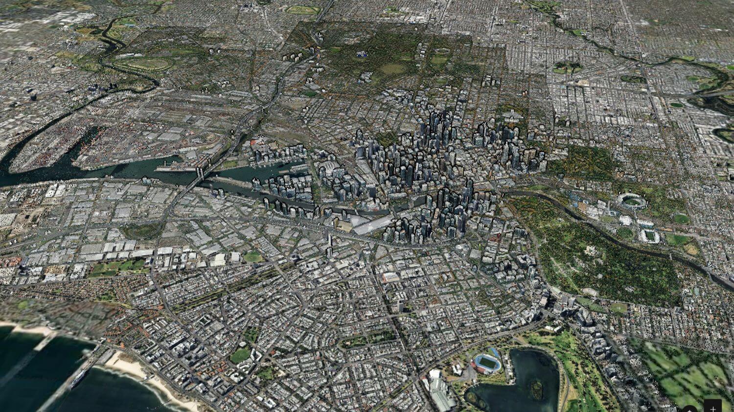
Geographic Information Systems (GIS) play a critical role in our business today. By capturing, storing, managing, delivering and analysing geographic data in engaging and insightful new ways, our partners can achieve better project outcomes.

For example, energy companies can:
Map, monitor and manage their assets effectively
Optimise routes for energy distribution.
Assess environmental impacts with precision.
With advanced models and visualisations, SEAM clients make the most of their spatial information – practically and securely.
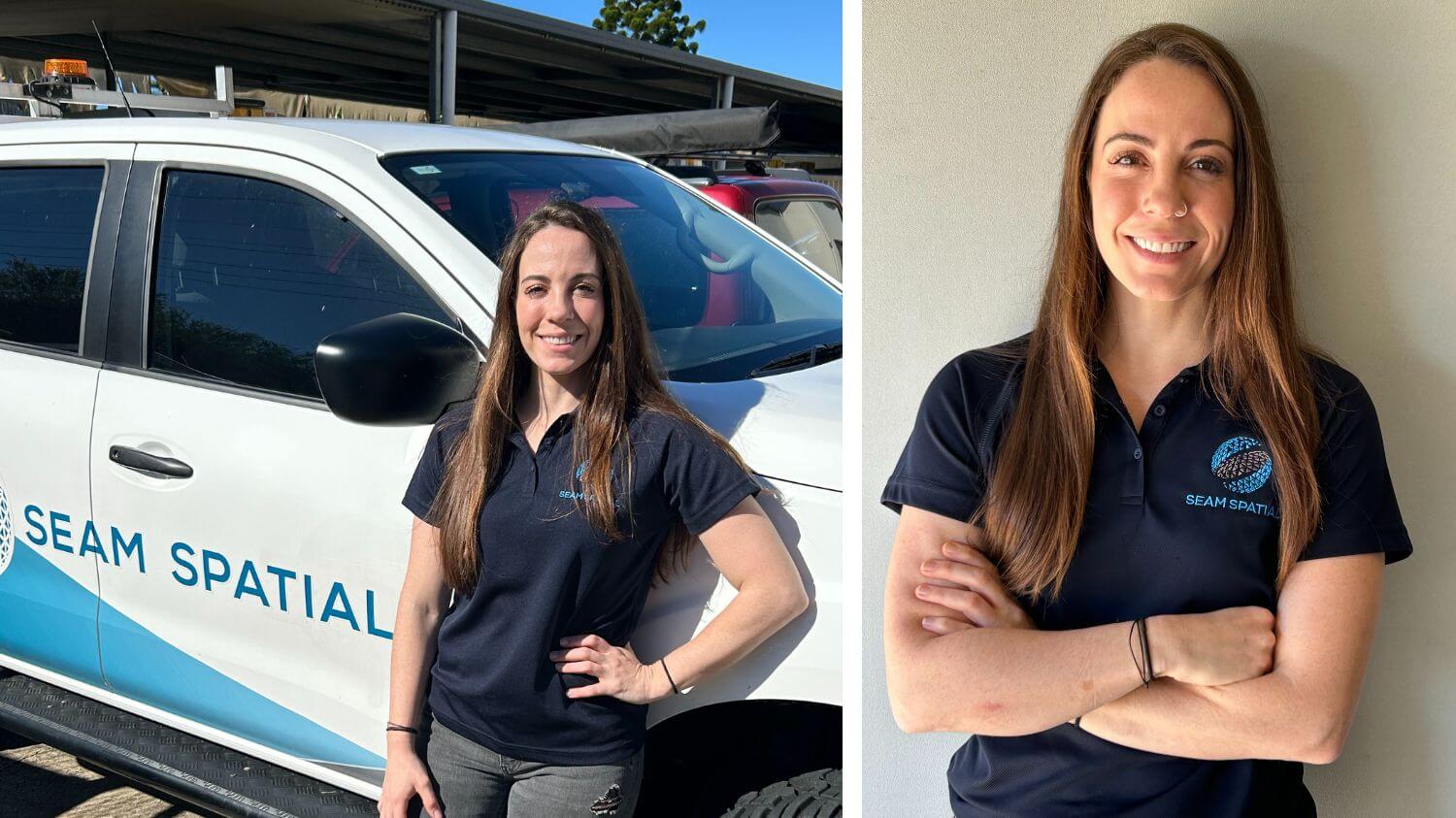
Meet Ritza, Geospatial Officer at SEAM Spatial
Based on the Sunshine Coast, Ritza Anitsakis is our GIS service specialist. Originally from the United States, Ritza brings extensive experience from supporting large-scale operations in the US. Collaborating closely with companies on projects of all types, Ritza:
Conducts background research to draft plans and find permanent survey marks.
Ensures data accuracy through her rigorous verification processes.
Integrates diverse data sets using ArcGIS to visualise complex information.
Creates detailed field maps for seismic surveys, pipeline expansions and infrastructure projects.

Ritza was originally sponsored on a Temporary Skill Shortage visa, was granted permanent residency by the Queensland Government and has recently taken her citizenship test!
To help meet the significant demand for spatial professionals throughout Australia, SEAM supports international surveyors who want to work live and work in Australia – while also investing in and training the next generation of home-grown talent.
Our recent GIS projects
Two of our primary partners that Ritza works with are:
Major oil and gas producer operating in Biloela*
Managing and refining GIS data:
Updating and correcting historical GIS data, particularly around pipelines received through acquisitions.
Ensuring that all information and attributes are accurate and properly integrated into the GIS system.
Creating field maps for seismic crews with data on assets, target locations and areas under exploration.
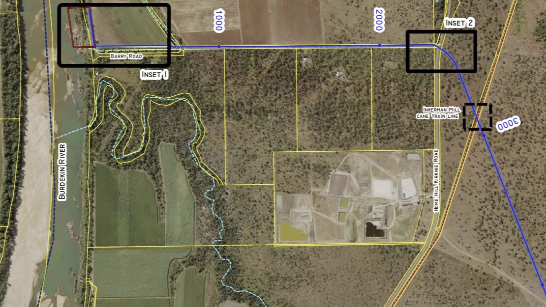
Significant pipeline operation in the Bowen area*
Improving agricultural water supply:
Mapping potential
routes
Assessing environmental impacts
Supporting regulatory approvals

The new Tech Hub
As part of our commitment to investing in and leveraging the latest technology, SEAM has a new Tech Hub in Banyo, where all our Tech Specialist team members will be based.
From Ritza leading our GIS capabilities to Jason Spall who heads up our Monitoring service and Ian Breddin our Laser Scanning, everything and everyone related to growing our technology will come from this new hub location.
We hope to develop our Tech Hub into the leading incubator of geospatial innovation in our industry!
