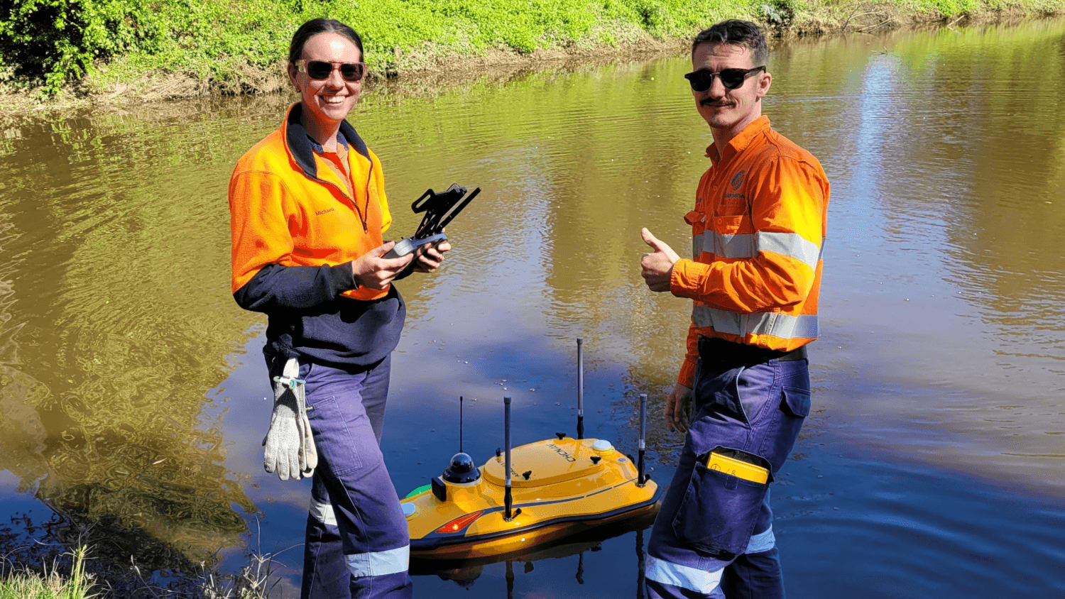
How SEAM is using the Apache 3 Pro
to transform bathymetric surveys
At SEAM Spatial, we’ve worked with enough mining, government and agriculture partners to know how important timely and accurate data is for decision-making. Having a spatial partner who can perform precise bathymetric surveys quickly and in challenging conditions is invaluable.
Traditionally challenging due to accessibility and safety issues, technology has transformed bathymetric surveying – enabling autonomous, precise and efficient data collection in remote or hazardous waters.
Now, SEAM is taking it a step further by adding the advanced Apache 3 Pro to our fleet of remote hydrographic survey boats!

Apache expands our capabilities
The SEAM Team loves to play with new toys, but we don’t add innovative equipment to our repertoire just because we want to! Our philosophy is to adopt cutting-edge technology when we can prove that it’s both reliable and beneficial for our clients.
The Apache 3 Pro will enable us to:
Tackle tougher environments
Stronger hull – Macromolecular carbon fibre and Kevlar composite.
IP67 rated – Dust and water-resistant onboard components.
More manoeuvrable – Five brushless internal rotor motors to minimise drafts.
Complete surveys more quickly
Up to 6 m/s – Faster on-water operational speeds that reduce survey time.
Only 10 kg – Easier for a single operator to deploy and control.
Improved navigation – Anti-collision system that corrects course automatically.
Improve data reliability
D270 echosounder – Highly accurate 0.2 to 40 m depth measurement.
No range limitations – 4G cloud monitoring for live updates.
Smarter positioning – Integrated GNSS and IMU for results during GNSS outages.
Staying ahead in bathymetric surveying
Investing in the Apache 3 Pro shows how committed we are to meeting the needs of our partners across mining, government and agriculture. The Apache joins not just our Accura remote-controlled surface vessel, it also complements our unique drone-powered bathymetric solution.
Together with conventional vessels – manned by our experienced team – SEAM has one of the most comprehensive bathymetric surveying services in Australia. With an improved fleet of vessels, we’re looking to further support our clients across:
Mining
Tailing dam management
Resource
allocation
Regulatory compliance
CSG
Produced water storage
Environmental monitoring
Infrastructure planning
Agriculture
Water storage optimisation
Erosion
control
Expansion
planning
Water
Flood
management
Water
distribution
Dredging
operations
LEADERSHIP IN BATHYMETRY AND BEYOND
Our focus on investing in not just innovative technology, but our people too – through in-depth training and development – sets us apart from “point-and-shoot” surveyors.
By combining the best professionals in the field with the latest equipment (like the Apache 3 Pro), we can consistently deliver high-quality bathymetric data that drives informed decision-making and project success. See who’s leading the way at SEAM:
Matt Burke
Our Mining Operations Manager, Matt B will leverage the new Apache 3 Pro for our crucial mining clients – to deliver even more reliable results more efficiently.
Matt Ewing
As our aerial surveying expert, Matt E was behind the initiative to combine our UAVs with advanced sonar technology to offer unique bathymetric drone capabilities.
Lloyd Ricketts
The opencast coordinator in Queensland, Lloyd has been a key figure in deploying bathymetric boats and drones for surveying at our clients’ mine sites.
