BATHYMETRIC SURVEYING
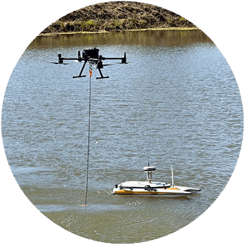
SEAM Spatial’s innovative ‘bathy boats’ and ‘bathy drones’ are changing the way we perform precise bathymetric surveys. Safe and versatile, SEAM’s advanced technology enables faster and more accurate underwater topography and depth mapping in challenging areas – like dams and open-cut pits.
Reliable hydrographic data collection and analysis is now available when you need it.
Resource exploration
Infrastructure development
Maritime navigation
Coastal management
Environmental monitoring
Resource exploration
Coastal management
Infrastructure development
Environmental monitoring
Maritime navigation
GET THE RIGHT EQUIPMENT FOR YOUR SITUATION
Depending on your body of water, the conditions at your site and your data requirements, the SEAM team will pair you with the quickest turnaround solution that provides the essential insights to support your project.
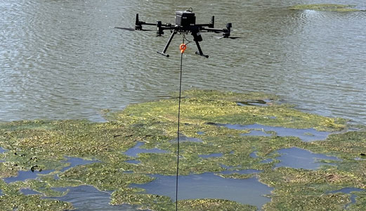
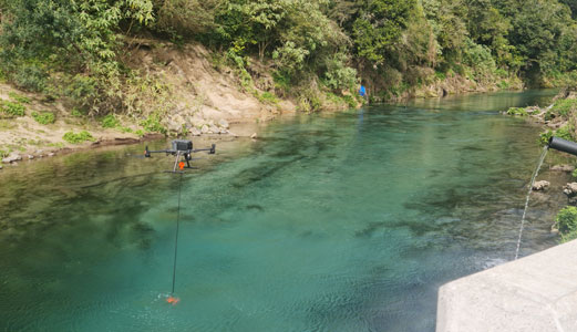
UAV-mounted sonar
Accessible
Suitable for hazardous areas or difficult ground access

Fast
Quickly deployable to small-to-medium-sized water bodies
Versatile
Usable for other types of surveys, including those on land
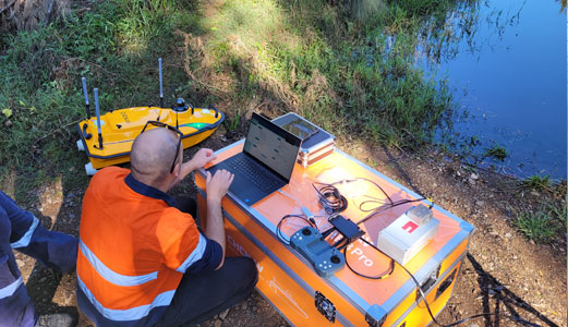
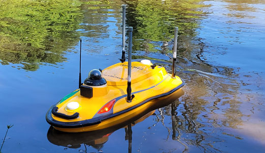
RC boat-mounted sonar
Cost-effective
Affordable for smaller scale operations than manned boats
Safe
Removes the need for personnel in challenging environments
Precise
Highly manoeuvrable for shallow waters and complex terrains

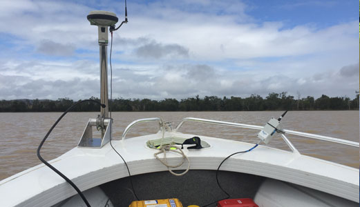
Manned boat sonar
Range
Often necessary for large-scale, deep-water surveys
Specialised
Allows surveyors to integrate other equipment or technology

Experience
Surveyors can provide real-time analysis and decision-making
CHOOSE ADVANCED BATHY TECHNOLOGY
Our commitment to cutting-edge technology means that SEAM is at the forefront of autonomous spatial data collection. We’re one of the few surveyors in Australia to offer underwater aerial vehicle surveys alongside our unmanned surface vehicles.
Having invested in powerful bathy solutions – developed and tested in Australia – we can provide underwater geological and hydrographic data that other surveyors can’t.
DJI M300
Our unique integrated drone system collects precise measurement data using an EchoLogger ECT 400 sounder, alongside a UgCS onboard computer for complex mission planning.

Apache 3 Pro
Our Apache’s D270 echosounder, rugged design and enhanced navigation systems enable efficient data collection in tough conditions – with seamless connectivity even when the GNSS signal is interrupted

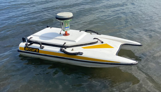
Accura
Our reliable Accura uses high-precision RTK GNSS and a dual frequency echosounder to conduct surveys from 0.3 to 100 m in depth – at a range of up to 700 m – with all data transmitted to the shore in real-time.
WORK WITH THE EXPERTS IN BATHYMETRY
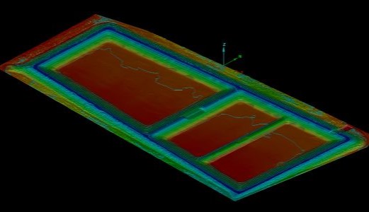
Accurate underwater measurements are crucial for infrastructure planning and resource management. Without a reliable surveying partner, you can experience costly errors, environmental damage and safety hazards on site. SEAM specialises in:
Depth
measurements
Topography
maps
Substrate
data
Obstruction
identification
Hydrological
features
Volume
calculations
Depth
measurements
Topography
maps
Substrate
data
Obstruction
identification
Hydrological
features
Volume
calculations
SEE WHO TRUSTS OUR RESULTS



EXPLORE HOW TECHNOLOGY
IS TRANSFORMING BATHYMETRY
At SEAM Spatial, we’ve worked with enough mining, government and agriculture partners to know how important timely and accurate data is for decision-making.
